This wiki was in read-only mode for many years, but can now be edited again. A lot of information will need to be updated.
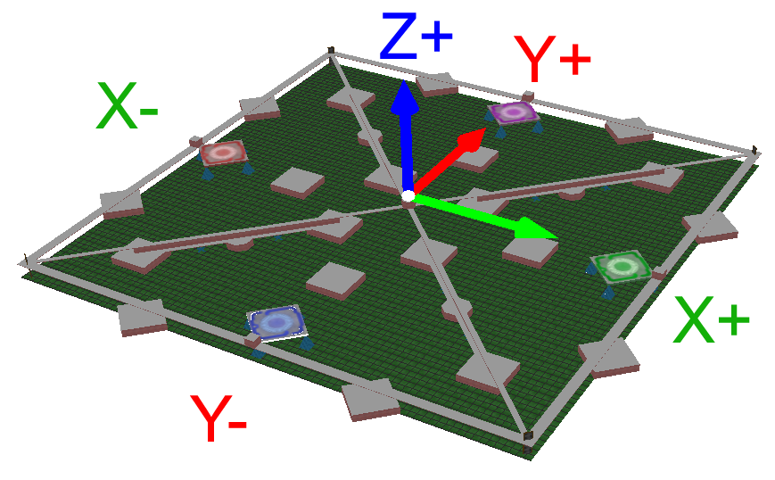
File:MapCoordinateSystem.png
Size of this preview: 800 × 495 pixels. Other resolution: 869 × 538 pixels.
Original file (869 × 538 pixels, file size: 213 KB, MIME type: image/png)
File history
Click on a date/time to view the file as it appeared at that time.
| Date/Time | Thumbnail | Dimensions | User | Comment | |
|---|---|---|---|---|---|
| current | 01:51, 21 October 2009 | | 869 × 538 (213 KB) | JeffM2501 (talk | contribs) |
You cannot overwrite this file.
File usage
The following 2 pages use this file: